Mount Damavand: Travel Guide and Climbing the Highest Peak in Iran
Step by Step to Climb Mount Damavand

Climbing Mount Damavand is an unparalleled experience. The journey to Iran’s and the Middle East‘s highest mountain, and the highest volcanic peak in Asia, is indescribable. Read about this journey and the mountaineering experience on SURFIRAN.
Contents
Where is Mount Damavand?
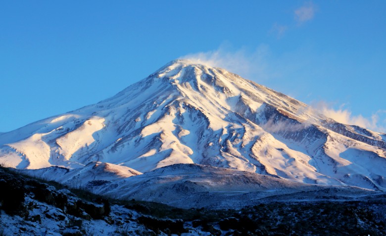
Mount Damavand, part of the central Alborz mountain range, is located south of the Caspian Sea and in the Amol county.
Location of Mount Damavand on Google Maps
Routes to Climb Damavand
There are varying opinions about the height of Mount Damavand, ranging from 5,610 to 5,671 meters. There are several routes to reach the summit.

Which Route is Better?
The southern route is the easiest to climb, while the northern route is the most difficult. The western route is dangerous due to frequent shade and severe cold, and there is a higher risk of rock falls. The northeastern route is a reasonable choice because it’s neither too hard nor too dangerous.
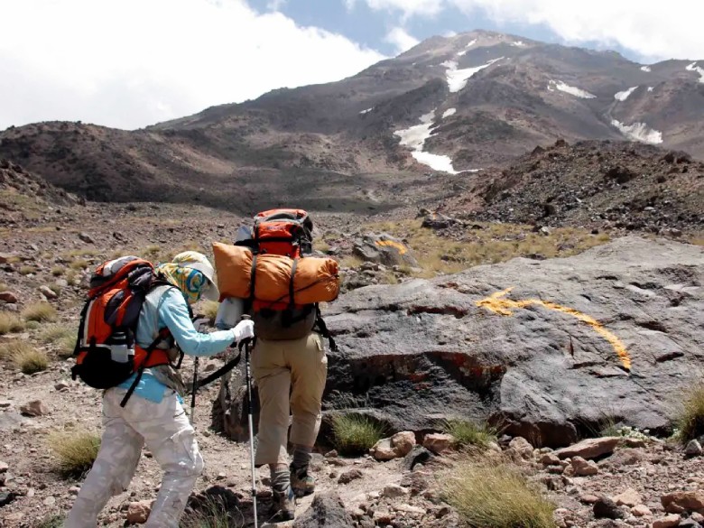
All routes have shelters, and you can use them if there’s availability. The duration of your climb depends on your physical fitness and the chosen route. Typically, climbers spend one day reaching the shelter and summit the next day.
SURFIRAN Tours
Best Iran Tours
Take Altitude Sickness Seriously
Altitude sickness is a serious consideration. Spending a night above 4,000 meters can help acclimate you for the final ascent. Regardless of the route, you’ll meet climbers at the summit.
What is the Summit of Damavand Like?

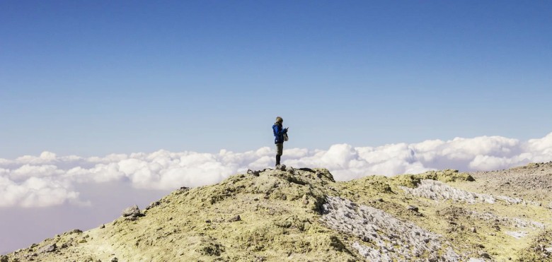
The summit of Damavand is spacious, with a strong smell of sulfur gases. The summit’s center is a crater, and most climbers move around its edges. You’ll encounter people overwhelmed by the experience, sometimes moved to tears.
For instance, you’ll see Azad Kuh at about 4,400 meters appearing lower, observe a sulfur cloud rising from the summit, and massive glaciers unique to Iran. In essence, everything is below your feet.
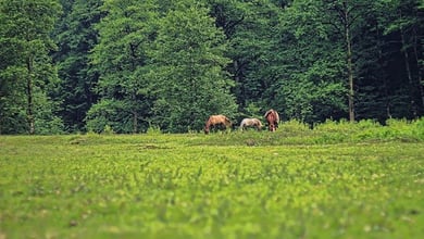
In the past, there was a frozen sheep on the summit, which has unfortunately been burned in recent years. Along your route, you might see herds of wild goats or sheep in the region.
What is the Northeastern Route Like?

The northeastern route, the longest route, begins from Nandel village and the Takht-e Fereydoun shelter at 4,400 meters. The shelter is limited in capacity, so most climbers camp nearby. About 45 minutes to an hour before reaching the shelter, there’s a beautiful plain near a spring ideal for overnight stays.
To acclimate better, choose to stay at Takht-e Fereydoun. There’s a water spring nearby, but you’ll need to walk a bit to reach it. The shelter was built in 1976 by the Technical College and the villagers of Gazneh to honor two climbers who died on Damavand.
Essential Equipment for Climbing Damavand

Essential items include oxygen spray, warm clothing, down jacket, proper hiking boots, trekking poles, crampons, sleeping bag and tent, two water bottles, and snacks. Use sunscreen, a hat, and sunglasses to protect from high-altitude sun exposure. The more prepared you are, the easier your climb will be. Avoid excessive spending on equipment; many past climbers ascended with far less.
Northern Route Details
The northern route starts from Nandel village and continues between the Siyoleh and Dobisel glaciers, leading to the Doll glacier. This route is challenging, with sections requiring rock climbing and snow skiing. The first shelter is at 3,800 meters, and the second at 4,600 meters, with each accommodating about 15 people.
Southern Route Details
The southern route, the easiest, starts from Polour and Gousfandsara. The shelter here, called Bargah-e Sevom, is at 4,200 meters and can accommodate 50 people. Pre-booking is recommended due to the shelter’s popularity. There’s a water spring near the shelter.

Western Route Details
The western route is the most dangerous due to frequent rock falls and cold temperatures. However, it’s shorter, attracting many climbers. The Si-e-Morgh shelter at 4,200 meters has a capacity of 40 people. Plan a two-day trip for this route.
Damavand’s Historical Significance
Mount Damavand, a symbol of perseverance in Iran, was registered as the first natural national heritage in 2002. The mountain’s height is estimated at around 6,000 meters in ancient texts and 14,000 to 22,000 feet during the Qajar era. In the “Shahnameh,” it’s the mountain where Fereydoun imprisoned Zahhak.
Tips for Climbing Damavand
- Avoid littering: Carry your trash back down.
- Carry enough water: Springs are near shelters, but you’ll need water during the ascent.
- Be cautious of the weather: Conditions can change rapidly, especially in fog and storms.
- Stay close to your group: Separation can be dangerous.
- Reduce altitude for severe sickness: Help those with symptoms by descending.
- Avoid touching sulfur rocks: They emit a persistent odor and are harmful.
- Research thoroughly: Know the routes and conditions for a better experience. The best time to climb is August, but check weather conditions beforehand.

Physical Preparation for Climbing Damavand
Start preparing now if you dream of climbing Damavand. Physical fitness, especially strong legs, is crucial. Train regularly, get used to hiking, and practice acclimatizing to high altitudes. Begin with peaks under 4,000 meters and progress to higher ones like Sabalan and Alam-Kuh before attempting Damavand.
For more information on suitable training, look up isometric exercises.
OrientTrips
Travel Insurance
Conclusion: Should You Climb Damavand?
Climbing Mount Damavand is a significant challenge. It’s a long, tough journey but a great test of physical and mental strength for those seeking to prove themselves.
For more detailed information and to plan your trip, visit SURFIRAN.
Read More


